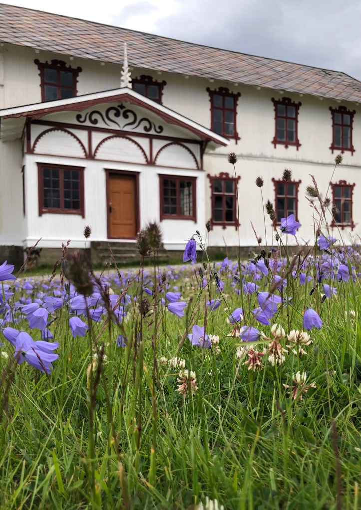
Summary: 12.1 km, 575 m elevation (by my phone). Cloudy with some sun during first part of day. Then overcast with dark clouds. Very windy through the pass. Budsjord to Fokstugu.
We were served a beautiful breakfast with homemade jams (strawberry and rhubarb), breads, and yogurt. Elizabeth, the woman who hosted us at Budsjord, told us of retreat possibilities: bring in a local famous folk musician, Per Arne Glorvegin, have wine and aquavit tasting, maybe local gin, hike during the day…wow! Sounds good!
Per Arne Glorvigin is described on Wikipedia as “one of the world’s leading contemporary bandoneon players and ‘wizard of the buttons.’” Sounds amazing!
Especially after the walk today, I will certainly be back in the area, and Budsjord was an amazing experience because of the food & excellent service.
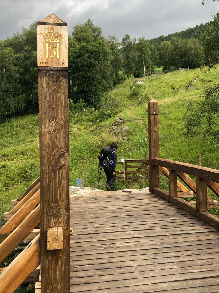
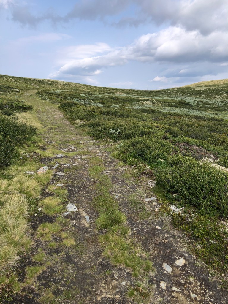
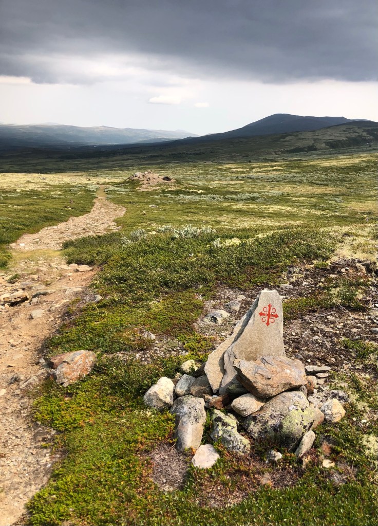
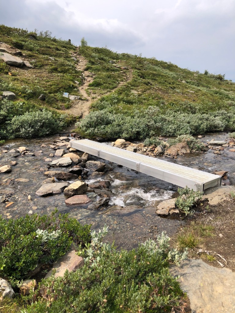
At 9:15 am, we started walking along the Kongevegen (King’s Way) over Dovrefjell.

It was Norway’s first public road for horses and carriages. The first roads in Norway did not arrive until the 17th century. Over Dovrefjell, people have traveled on foot or ridden for thousands of years, but what we call the royal road was first built from the end of the 17th century and through the 18th century.
A king must not have traveled on the road for it to be called a royal road. A royal road is a main road between parts of the country and it is a road commanded by the king. There were royal ordinances to raise the road standard so that they were suitable for growing business, mining, postal and military services.
Several kings have traveled on Kongevegen over Dovrefjell. They crossed the mountain during their official trips to Norway in the 17th, 18th and 19th centuries. The first of the Danish-Norwegian kings was King Christian V in 1685. At that time the road standard was so poor that he had to ride a horse. Only two years later came the royal decree of improvement. Thus, King Fredrik IV was able to travel with two-wheeled carriages in 1704. It was even easier for King Christian VI. In 1733 he drove the royal road in a four-wheeled carriage.
The royal road was commanded by the king, but who built it? It was the local farmers who each year had to provide crew and equipment for a certain number of days. So it was with the maintenance of the road as well. The road was divided into rudders and three or four farms were responsible for each rudder. In the years 2018-2022, Kongevegen over Dovrefjell has been given a facelift with historic bridges, repair of walls and repair of old drainage systems. The pilgrim route follows Kongevegen large parts of Dovrefjell, along the road you will find information about Kongevegen over Dovrefjell (pilegrimsleden.no).
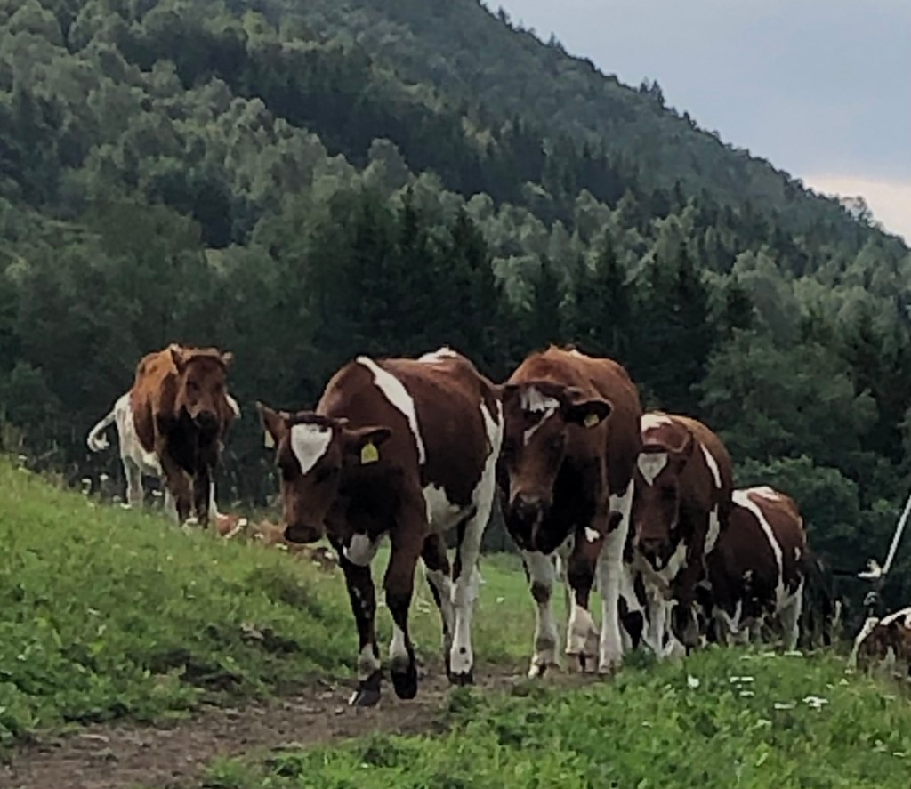
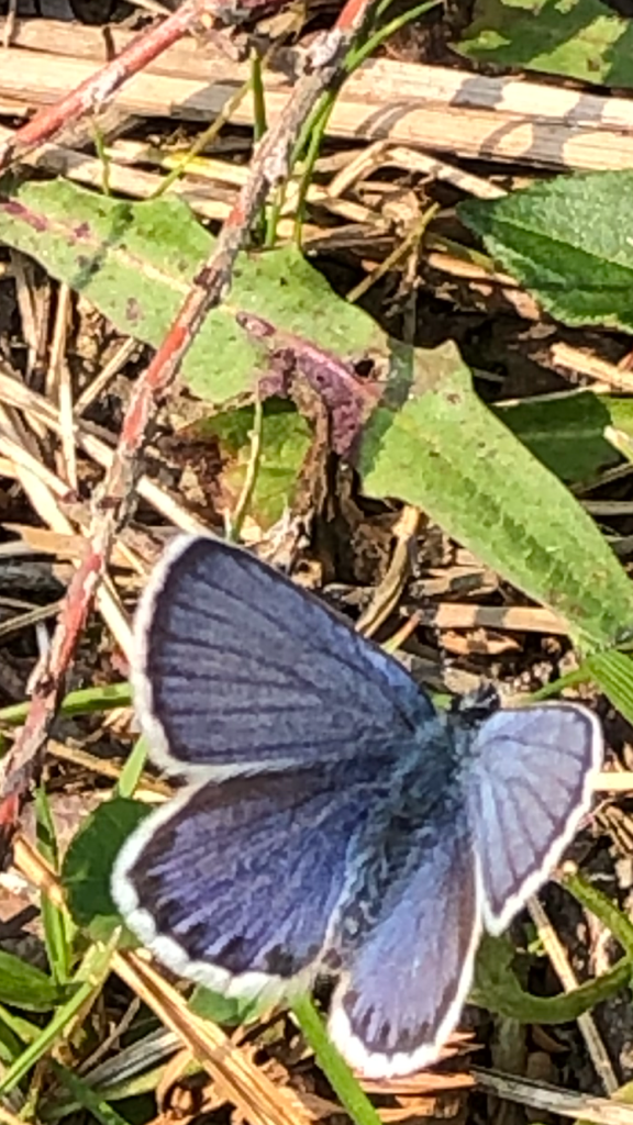
The first part of the trail wanders through fields and grazing lands for cows, goats and sheep. We were harassed by cows again. Okay, maybe they were just curious, but when a herd of twenty cows makes eye contact with you and starts trotting in your direction, it’s a bit intimidating!
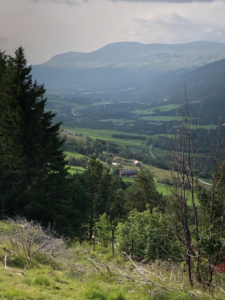
By just after 10 am, we had walked 2.3 km, climbed 300 m and were at tree line.
It’s been awhile since I’ve been in the alpine. Wow it felt great! I felt strong and closer to Creator and my authentic self than I’ve felt in some time.
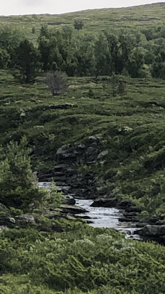
There were small waterfalls made by slabs of slate in an alpine creek, and I witnessed a small bird flying circles above me chirping and appearing to be playing on the wind currents (or maybe I was too close to its nest?) It was heavenly.

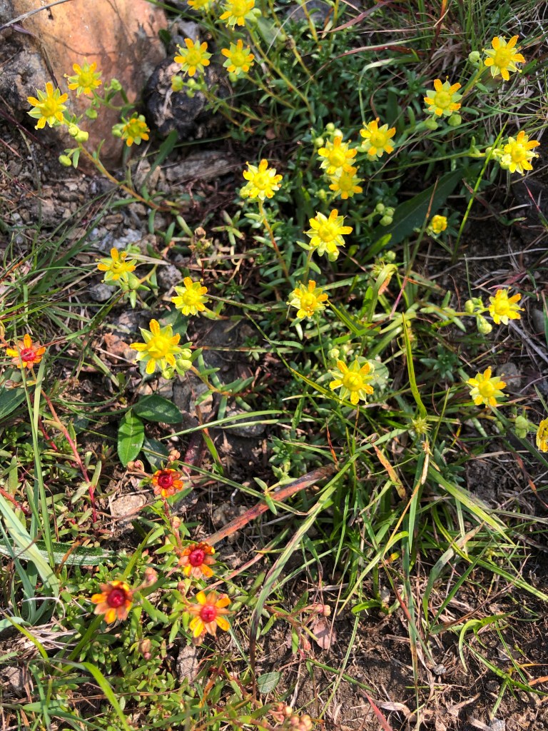
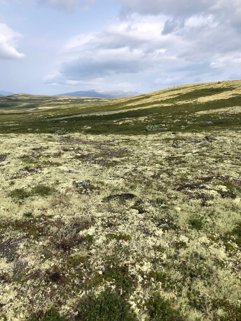
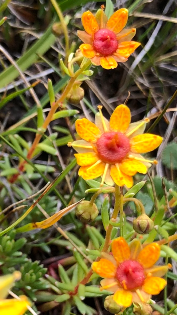
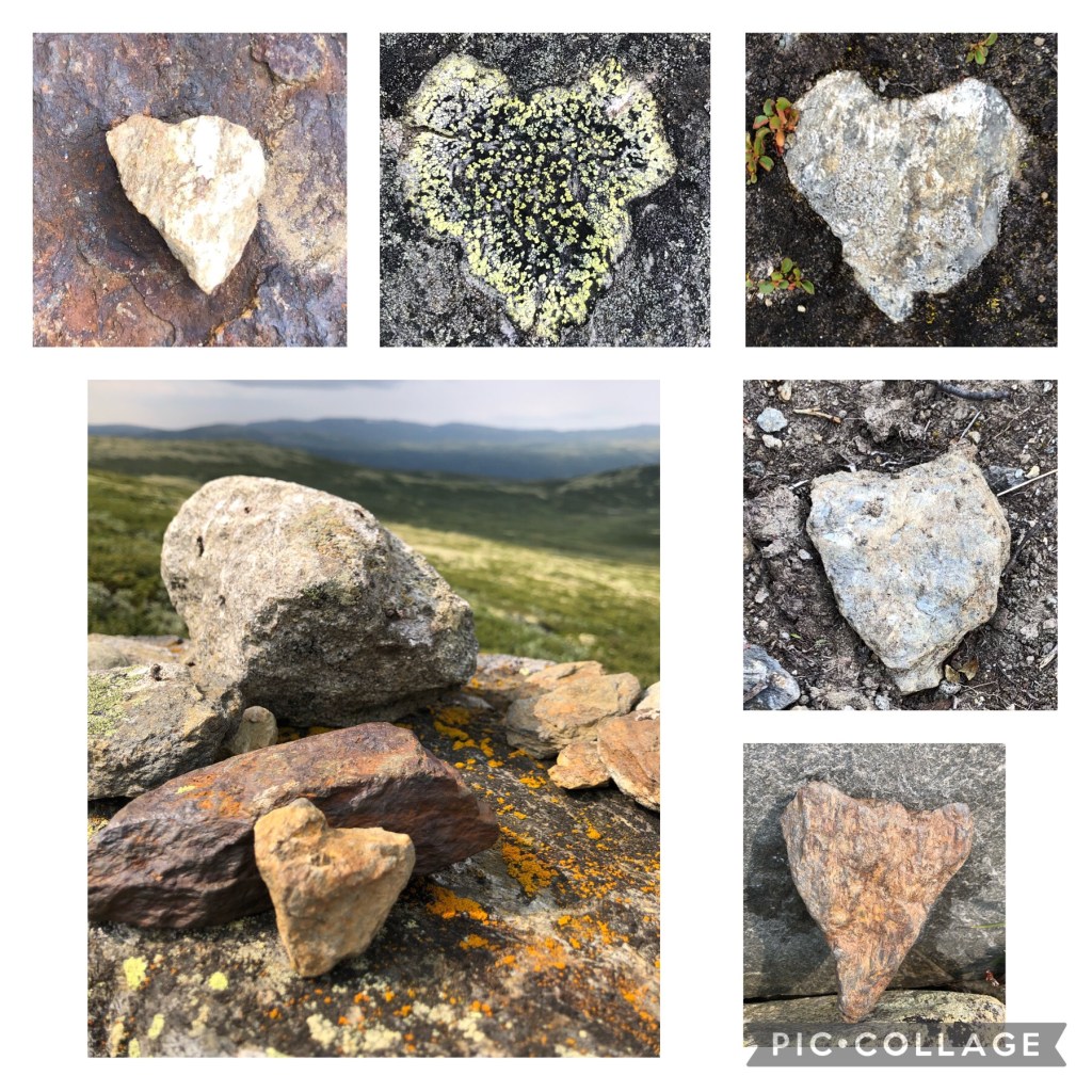
The yellow lichens glowed.

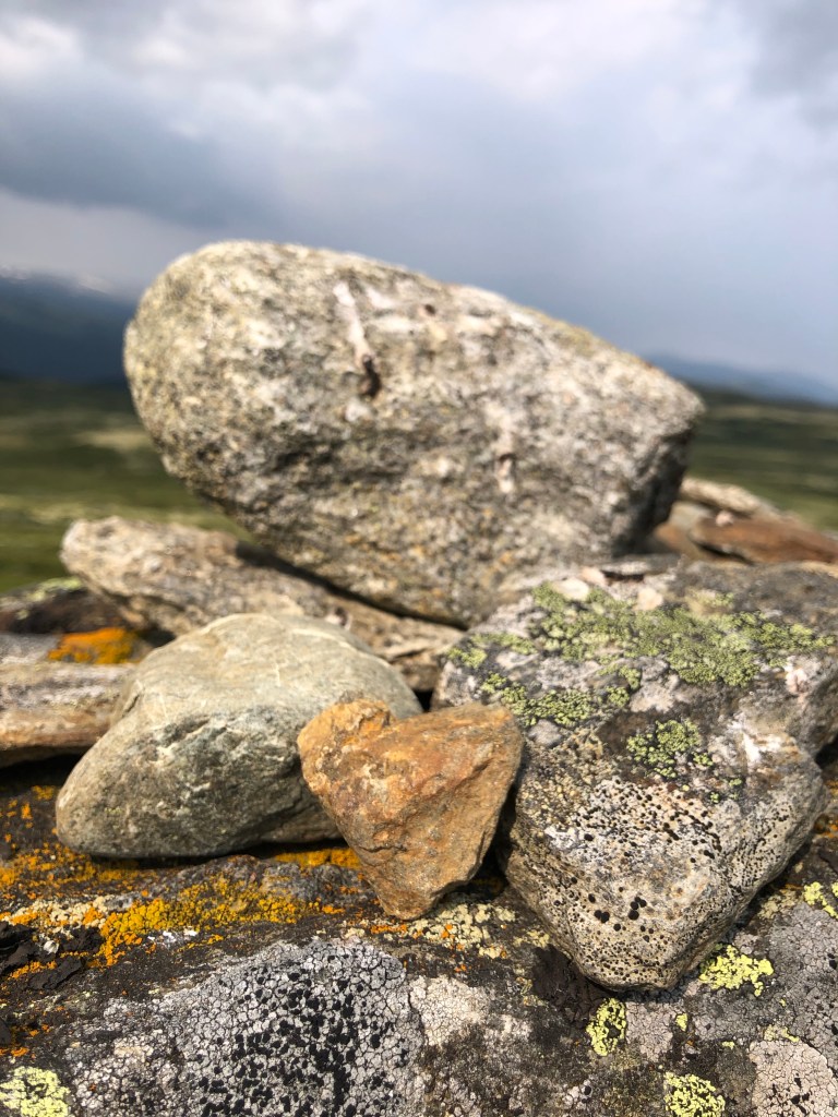
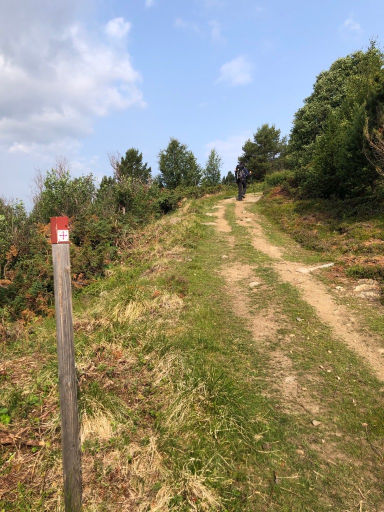
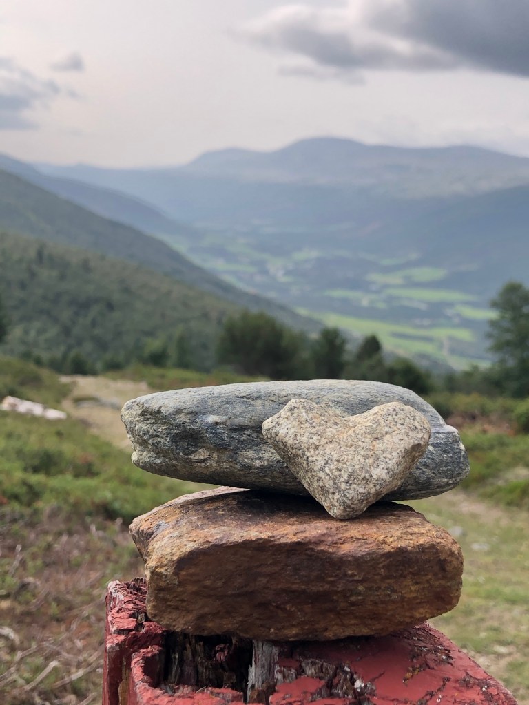
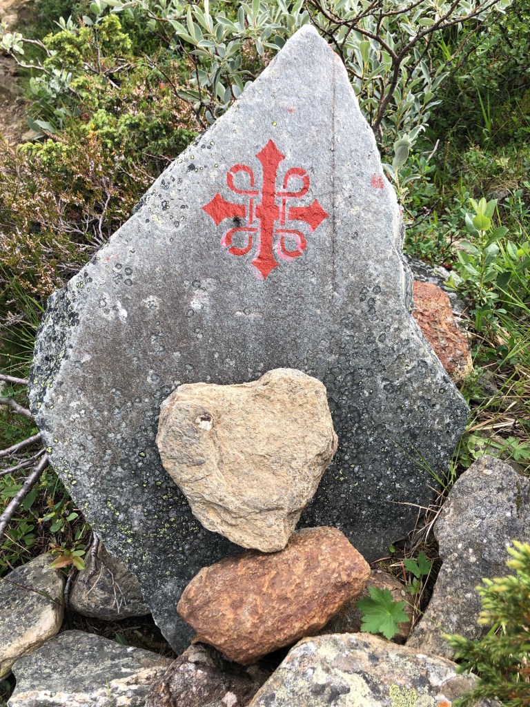
We passed the highest point of today’s trail at 1210m, where is a large mound of rocks is called Allmannrøysa.
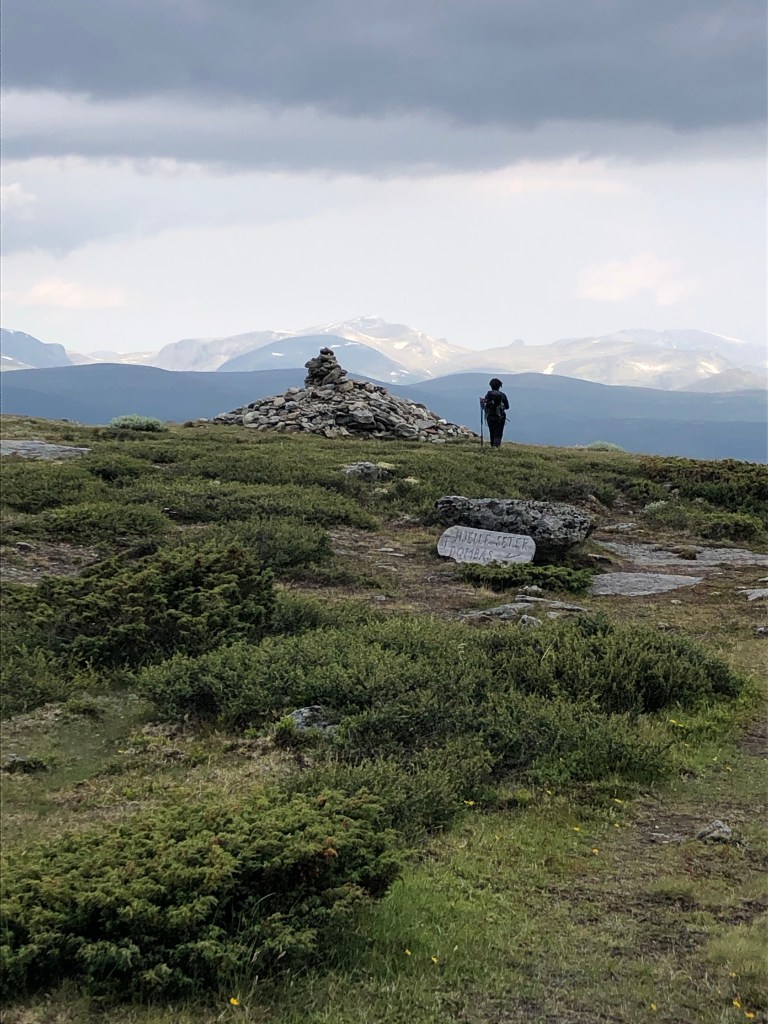
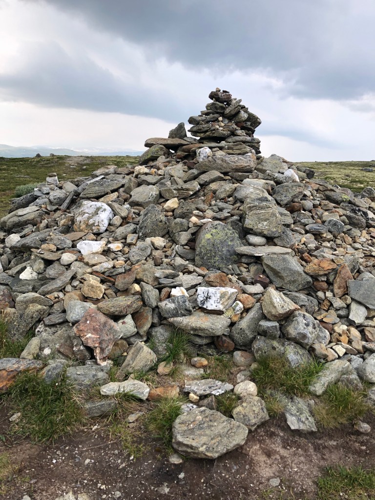
Some people think that Allmannrøysa is an old burial mound, but most of today’s walkers think that this is a place to lay a stone. Some have carried the stone from home, others find it nearby. Common to them is that the stone is a symbol. A symbol that during the hike they can lay down something heavy they carry here on Allmannrøysa. Just as the outer walk on the Pilgrim Trail is for many a picture of the inner walks that all people make through life – so the stone is a symbol of something in life they want to put down.
There has been a theory that in the past there was a cross in the middle of Allmannrøysa. This theory was confirmed when an 18th century clutter map was found. The clutter map told which stretch of Kongeveien the farms down in the village were responsible for maintaining. There is a mess at Hardbakken, and it is referred to as “The Cross at Harbachen”. This must be regarded as a confirmation of the theory – in earlier times there was a cross in Allmannrøysa and here the travelers could lay down a stone on the journey over Dovrefjell.
Not far from Allmannrøysa, an important archaeological find was made a few years ago. Two small objects lying right next to each other. One was the end of a walking stick. The other object was a pilgrimage mark. There was wood on the walking stick and this was dated to the end of the 12th century. This finding confirms that the road over Allmannrøysa and Hardbakken was an old medieval road, a pilgrimage road for those who were going to Nidaros. We do not know what story is hiding behind the find, but it is unlikely that anyone will give up their walking stick and their pilgrimage mark voluntarily (pilegrimsleden.no).
At noon, we found some shelter from the wind behind a mound of rocks. My phone app says it’s 7.2 km at this point but a fellow walker who has met up with us for lunch has Strava on his phone and says it’s 8.something km. Seems my phone app is a bit off.
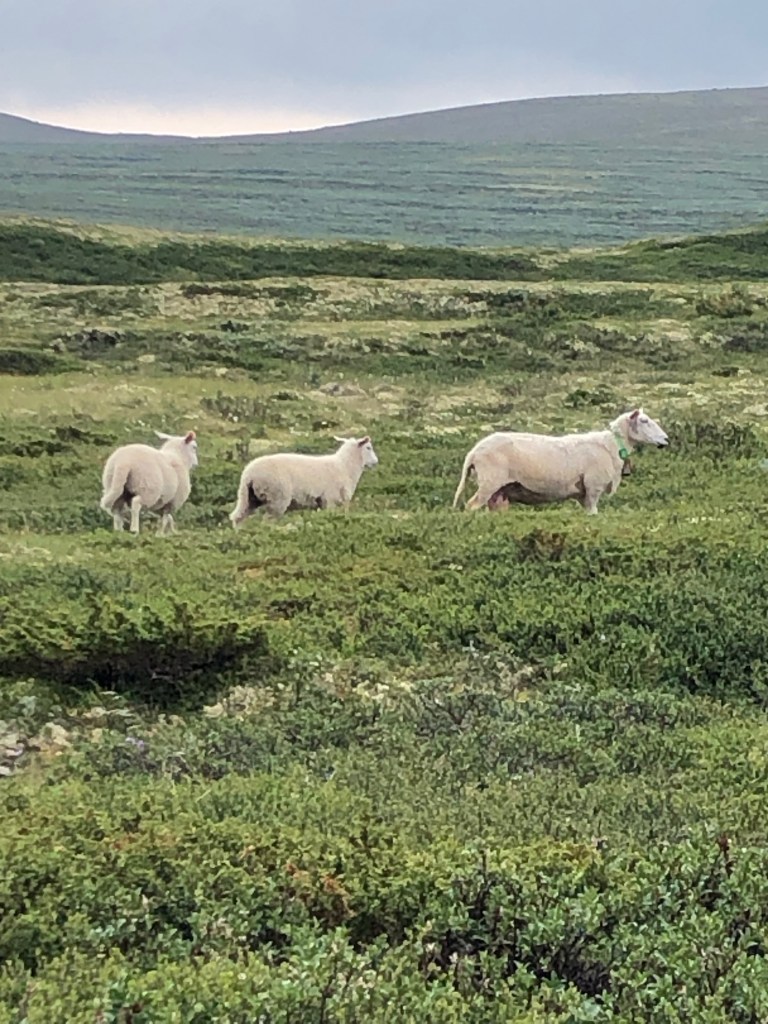
The sun came to warm us for a few moments as we ate. Birds chirped and sheep bells clanged in the distance.
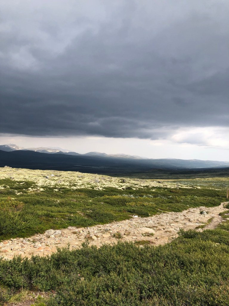

As I walked, I realised the ground could be much muckier with more rain.
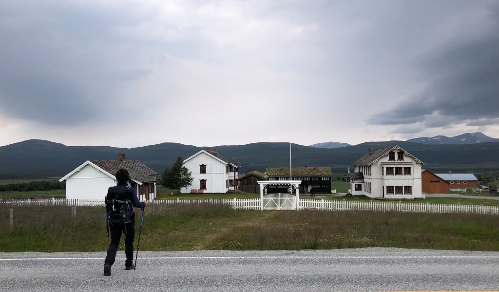
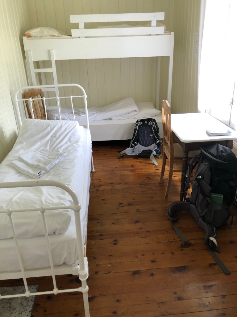
We arrived at our overnighting at 14:00. What to do with all the time?! Another day of rest is glorious.
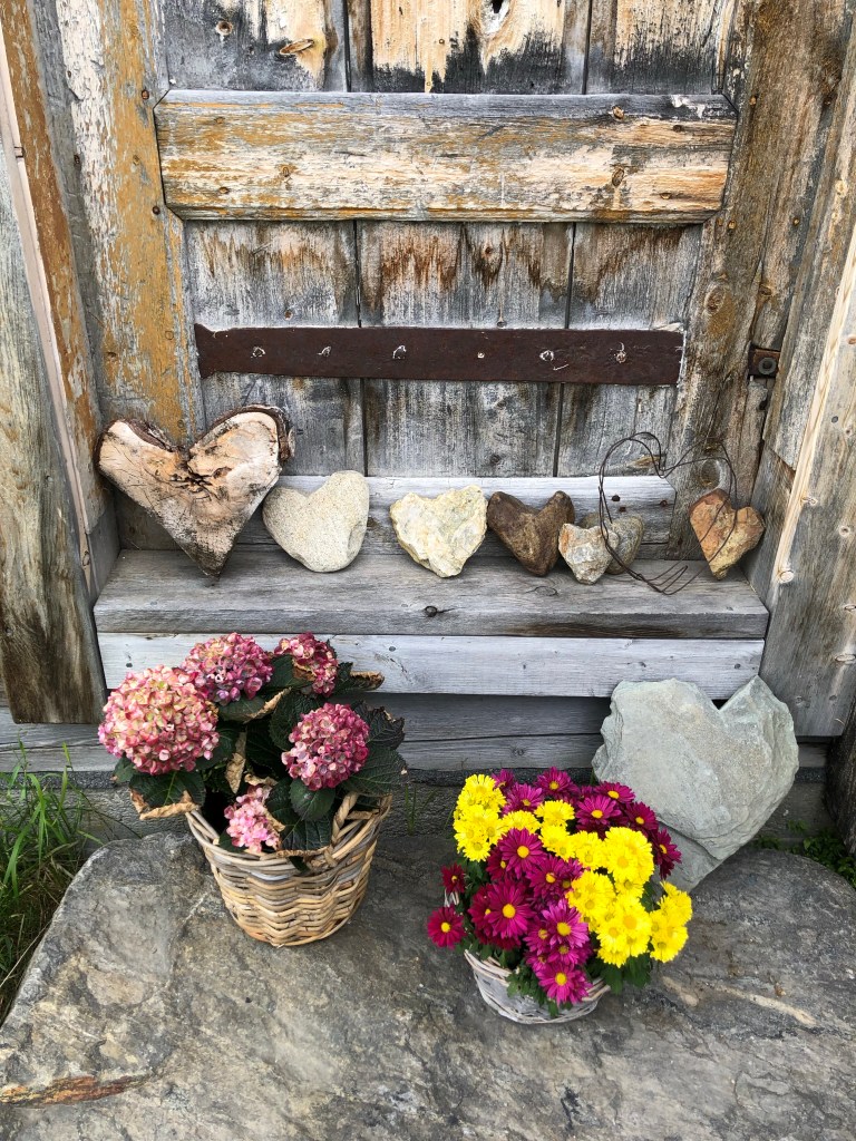
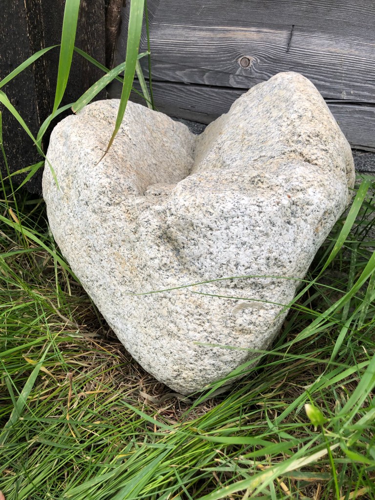
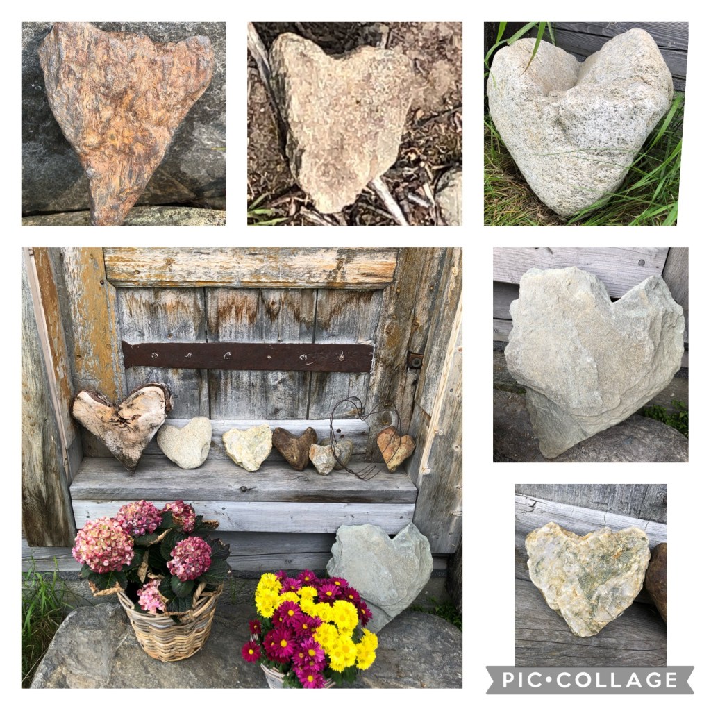
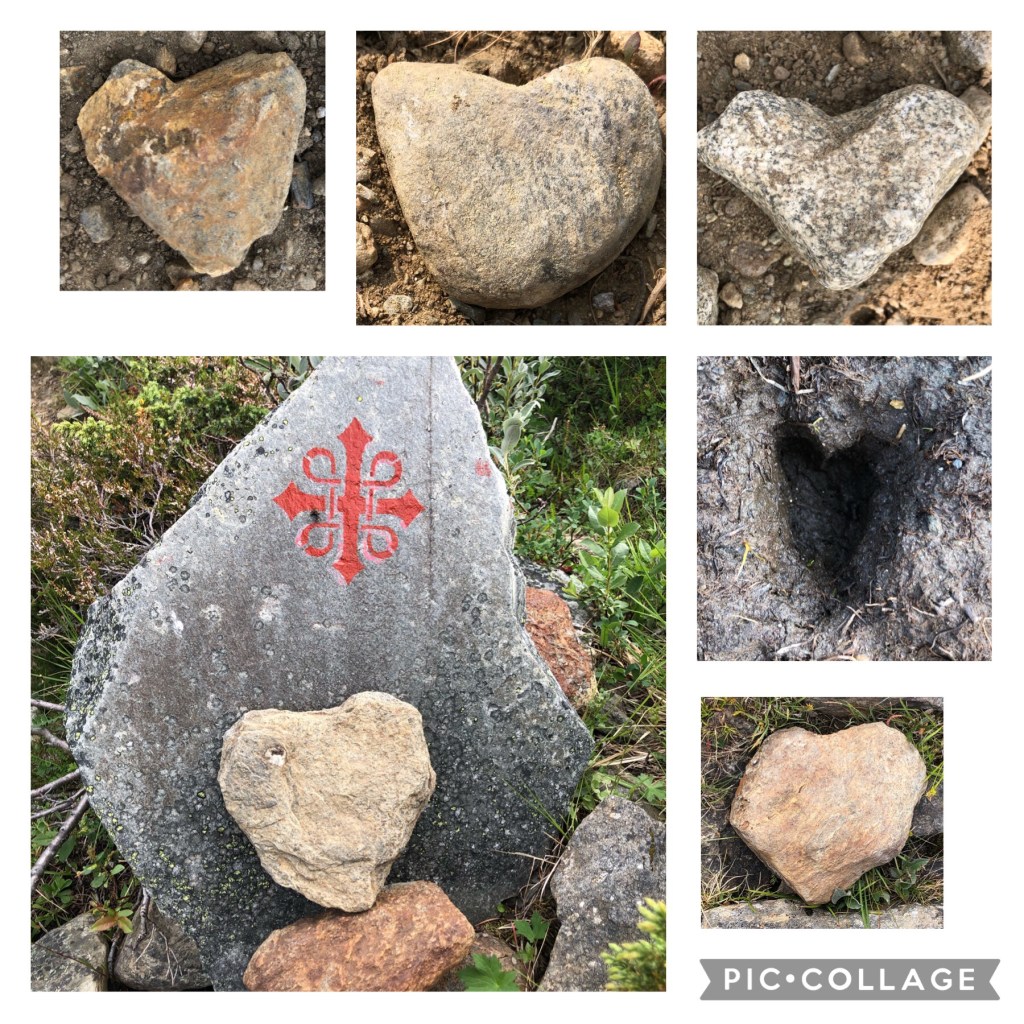
There a large number of hearts on the trail today. The place where we are staying tonight even collects hearts.
Thank you for this day!

Hi Kim, just got back from Salmon Fishing last night so I have been reading your blog with a great joy and a permanent smile! Re: the cows, don’t forget that you are an Alberta girl! Land of the best ranches in Canada, cows are part of your heritage! I think they stare at you and approach because they associate humans as sources of special feeds and security from predators! But what the heck do I know I’m from Montreal! .
Well done on the trip so far – wonderful eye for unique things and great photography!
Love you
Dad
LikeLike
You’re the best, Dad! 💕
LikeLike